Local Date
5 July 2025Local Time
08:20Location
Pacific Palisades, CaliforniaCountry or Territory
United StatesContributor
Steve EngelmannSatellite
NOAA-15Archive ID
Coordinates
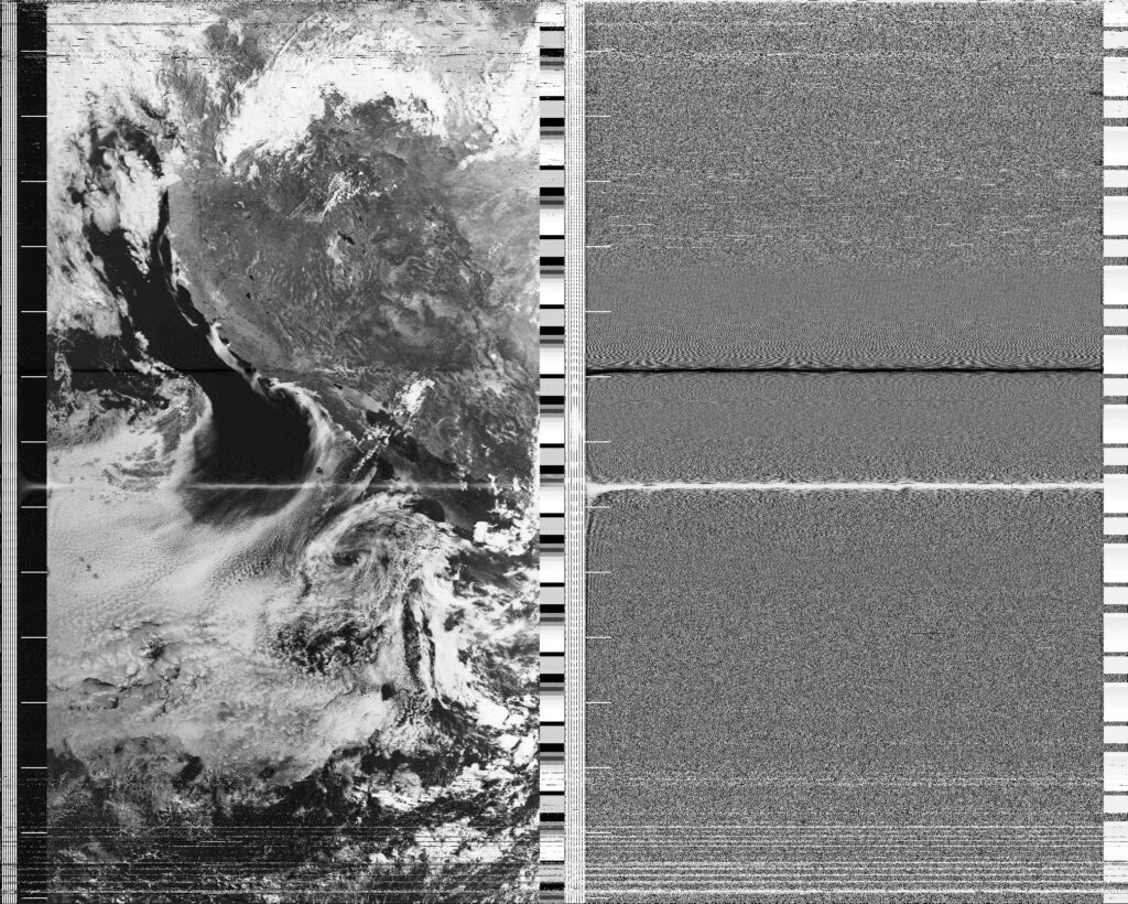
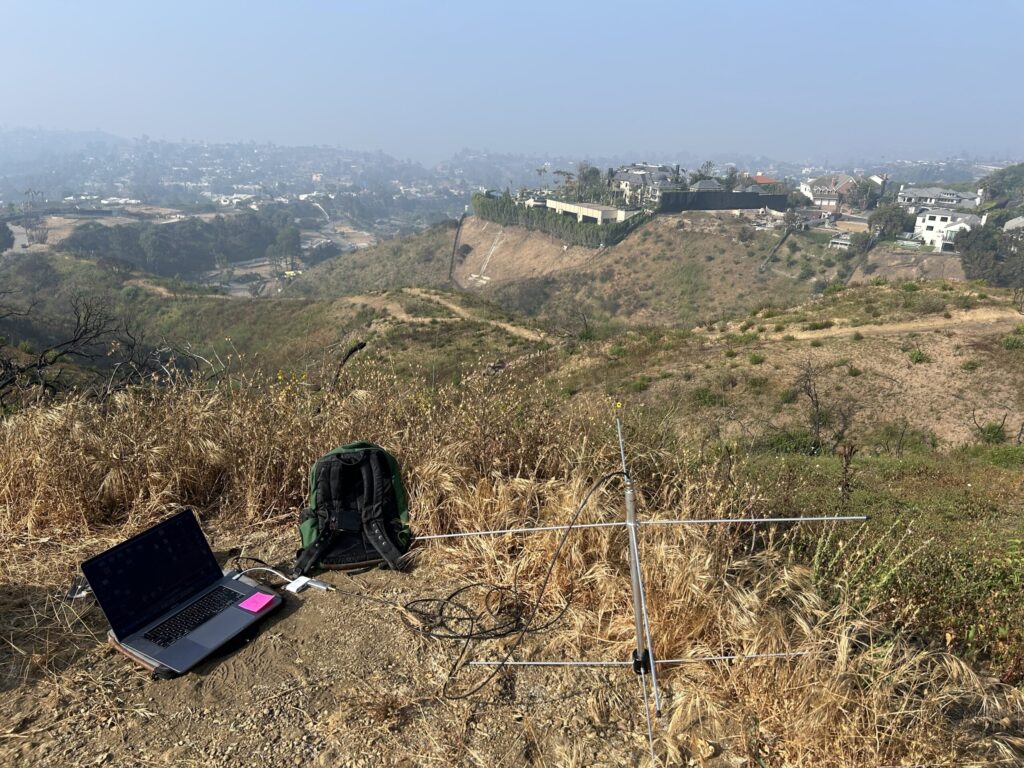
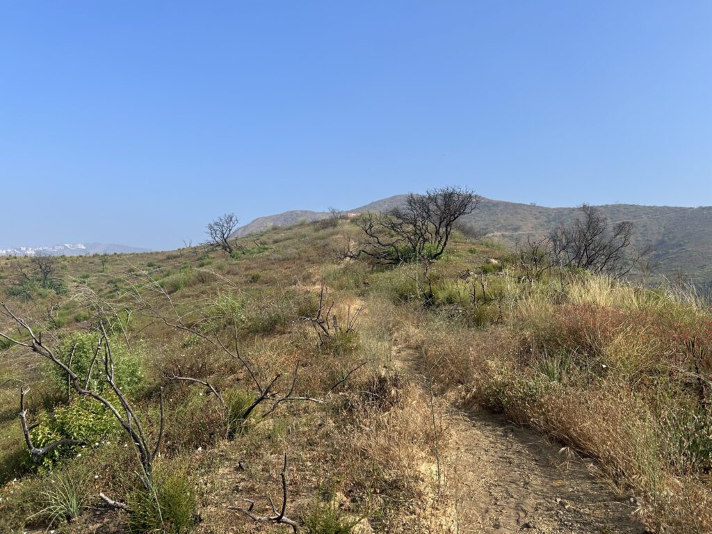
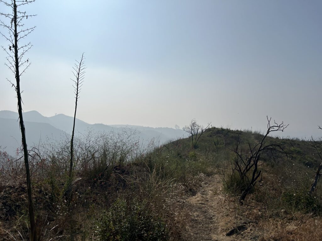
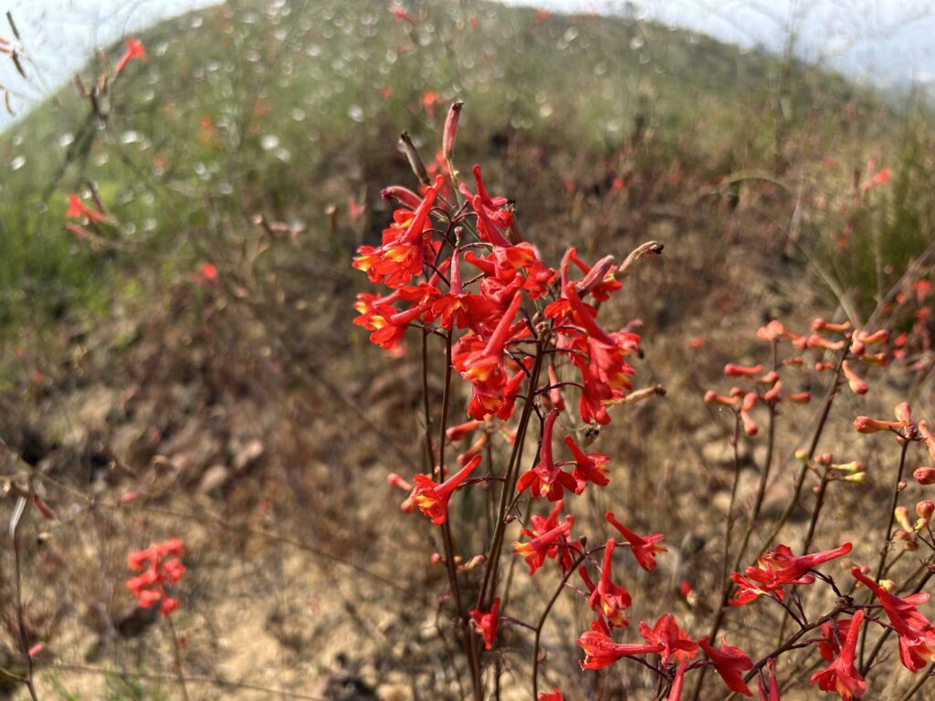
NOAA 15 was flying by with a great exposure of 88°, so I went for a short hike into the Santa Monica Mountains. The marine layer, known here as "June Gloom", is starting to burn off earlier in the morning as it was today. Most of the burned lots from the Palisades Fire have been cleared, but you can still hear some jackhammers at work. Six months after the start of the Palisades Fire most of the terrain is covered with plants. The burnt skeletons of taller shrubs have fresh, knee-high growth at the base. A friendly assortment of wildflowers bring yellow, orange, purple, white and red to the scene. Scarlet larkspur was showing off near the satellite capture.
After decoding the digital file, I was disappointed in the missing infrared channel. Looking at other NOAA 15 submissions, this seems to be a pattern. With the demise of NOAA 18, it looks like NOAA 15 may be next.