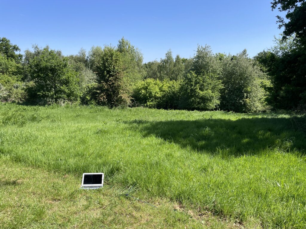
Local Date
16 May 2025Local Time
11:31Location
Between Schilling and Queens Buildings, Royal Holloway University of LondonCountry or Territory
United KindomContributor
Sasha EngelmannSatellite
NOAA-18Radio Callsign
Archive ID
Coordinates
From the cavelike darkness of my university office, my day is textured by a slow livestream of weather from around the world. Yesterday we launched the Year of Weather Map - a collective map of weather created with satellite imagery contributions from DIY satellite ground station operators around the world. Around lunchtime a new series of images over Europe roll in, adding wispy cloud textures over the North Atlantic. Later in the afternoon, an incredibly clear image arrives spanning from the Great Lakes to Central America and featuring a brilliant sun-glint in the Gulf of Mexico. I await with some expectation an image from India but it does not appear in the Archive- suggesting a power cut, wifi failure or other infrastructure issue on the ground. Then on my train ride home it’s there in the archive and map - a ghostly nighttime image with a condensed mass of cotton-ball clouds to the South and the faint coastline of India and Pakistan. All of these weathers layer in slow, meditative fashion on the somewhat glitchy map we have created, the result of five years of network building, tool-making and the design, testing and crafting of small units of hardware.

