Local Date
11 October 2024Local Time
08:57Location
ViennaCountry or Territory
AustriaContributor
Prototype Automatic Ground Station 2Satellite
NOAA-19Archive ID
Coordinates
Automatic Ground Station
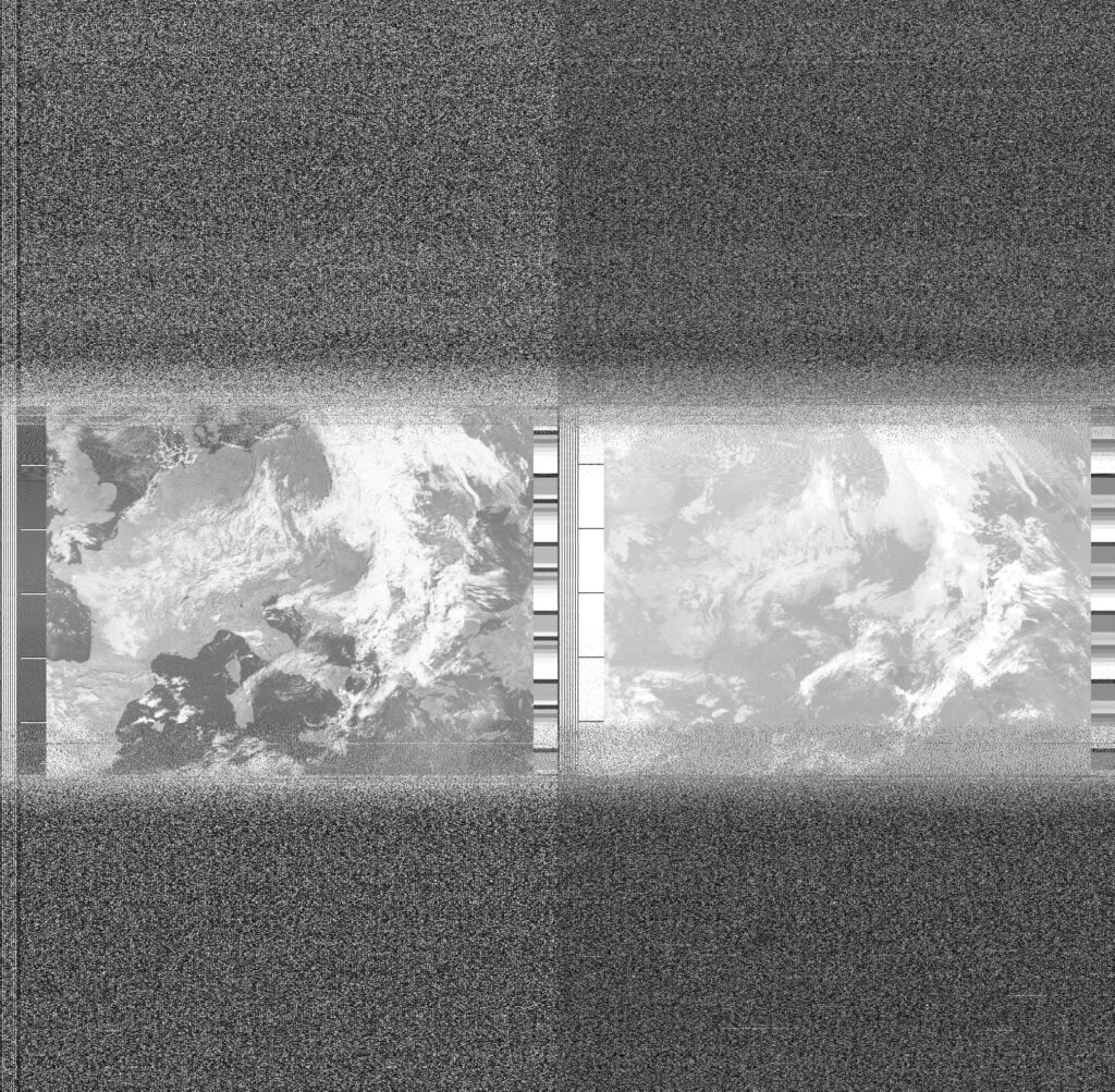
Remoteness is a position. The prototype Automatic Ground Station has freed-up my time to write more contemplative, spelling error free Weather Notes, but this has come at a cost. I no longer need to go outside in all weathers at inconvenient times of the day (when I should be in a meeting, eating dinner or just doing something unrelated to satellites and weather). For several weeks, I have not had to checked satellite orbits, hold an antenna or manually decode sound and process files. As a result, I look at today's satellite image with a sense of detachment. I treat the image more like a 'data product' than an hard-won 'weather observation'. This abstraction makes the tropical storm systems just beyond the image's frame feel remote and the weather outside my window feel comfortingly local. What's more, I have allowed a 'safe' distance to open up between me and other geopolitical heavy weather. When I manually captured longer satellite images, I often looked for Black Sea or coastlines of North Africa, the Gaza Strip, Israel and Lebanon to orientate myself. Put differently, I have put the 'remote' back into remote sensing and it has become easier for me to deny shared atmospheres and storm systems, interdependencies and breath.