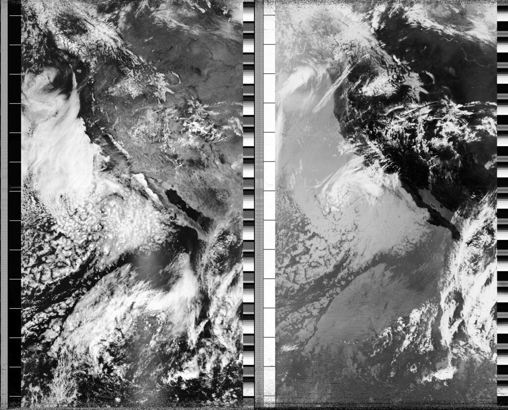
Local Date
15 April 2025Local Time
11:59Location
Pacific Palisades, CaliforniaCountry or Territory
United StatesContributor
Steve EngelmannSatellite
NOAA-18Archive ID
Coordinates
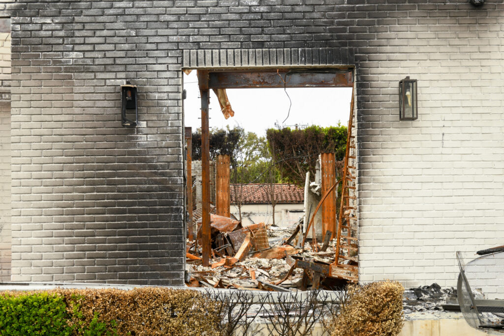
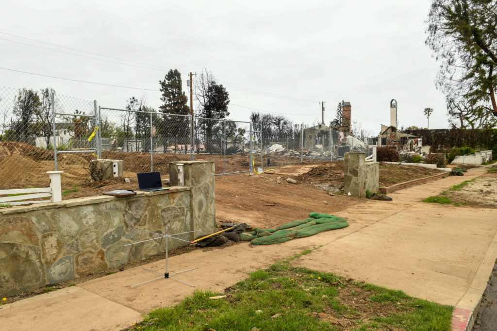
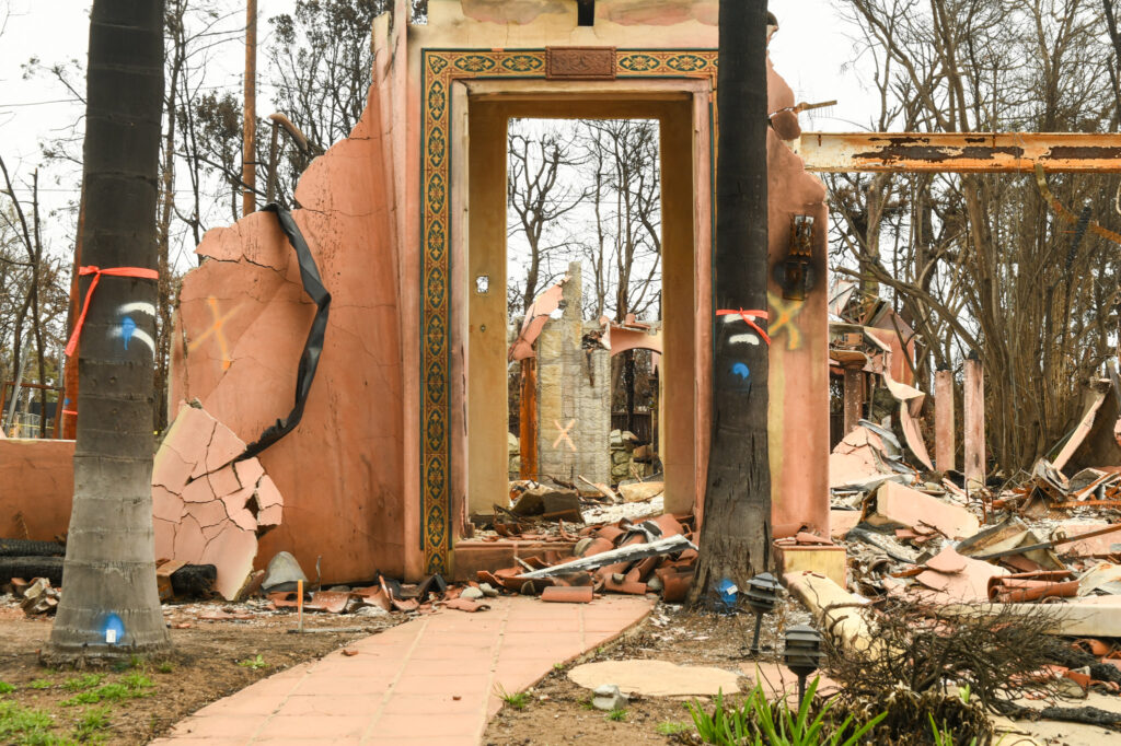
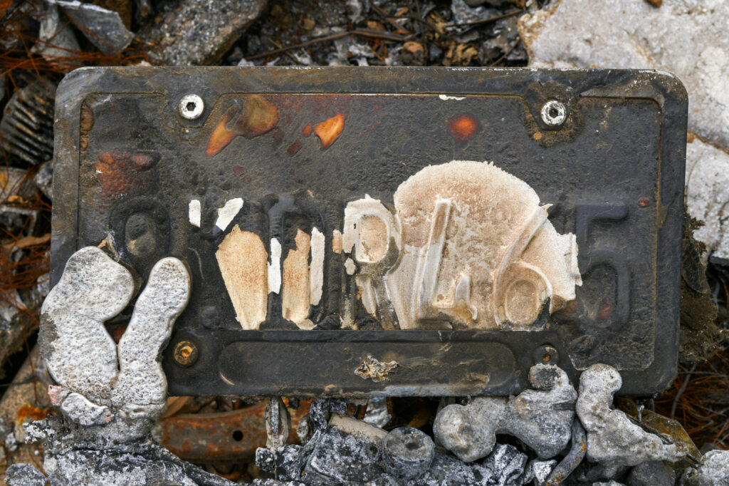
It has been over 3 months since the start of the Palisades Fire. I did a satellite capture less than an hour before the beginning of the fire on January 7th. I thought I would return to that location to do another capture. Road closures forced me to change plans. As the satellite was about to rise above the horizon, I found myself in the middle of the residential burn zone of the Palisades. With few trees standing, and even fewer homes, the skyline was favorable for a clear view of the sky. I found a convenient wall from a burned property to place my laptop. Several cars slowed during the pass giving me suspicious looks. Who is this man with an antenna in the middle of all the destruction? One car lingered for several minutes - I feel I was being filmed.
Meanwhile, we live in the chaos of tarrifs, the deportation of students with political views, the defunding of universities and the promise to increase domestic energy (fossil fuel) production. Later that day I attended a press conference at City Hall promoting the Polluters Pay Climate Superfund Act of 2025. The odds are long, but the effort is important.