The Conversation offers informed commentary and debate on the issues affecting our world.
How to capture satellite images in your backyard – and contribute to a snapshot of the climate crisis
Article written for a wide audience, emphasising the accessibility and stakes of DIY satellite signal reception and decoding on a warming planet.
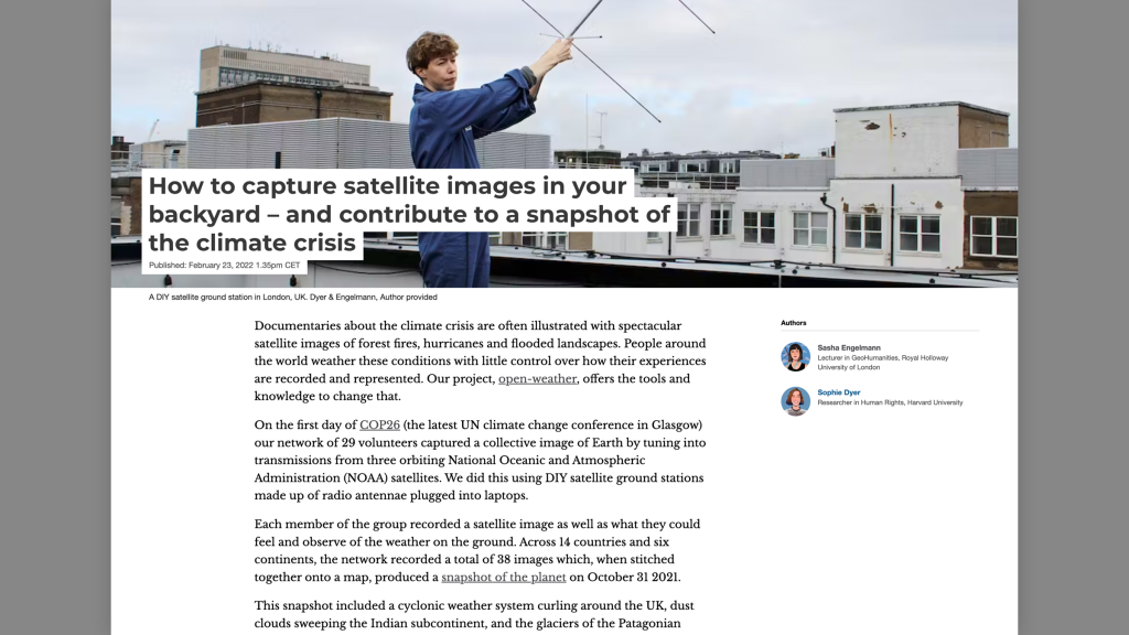
Documentaries about the climate crisis are often illustrated with spectacular satellite images of forest fires, hurricanes and flooded landscapes. People around the world weather these conditions with little control over how their experiences are recorded and represented. Our project, open-weather, offers the tools and knowledge to change that.
Extract from ‘How to capture satellite images in your backyard – and contribute to a snapshot of the climate crisis’ (open-weather, 2022)