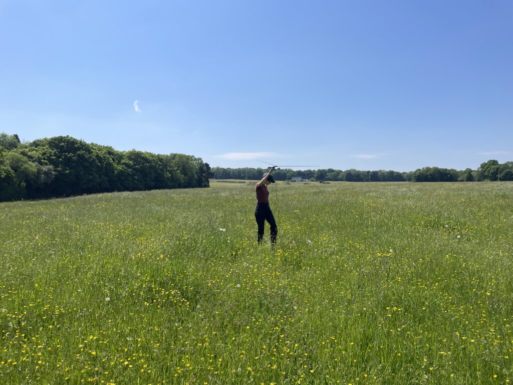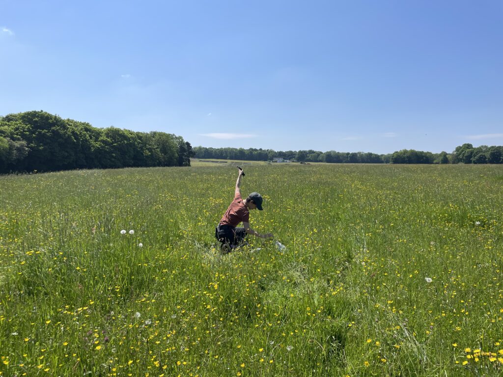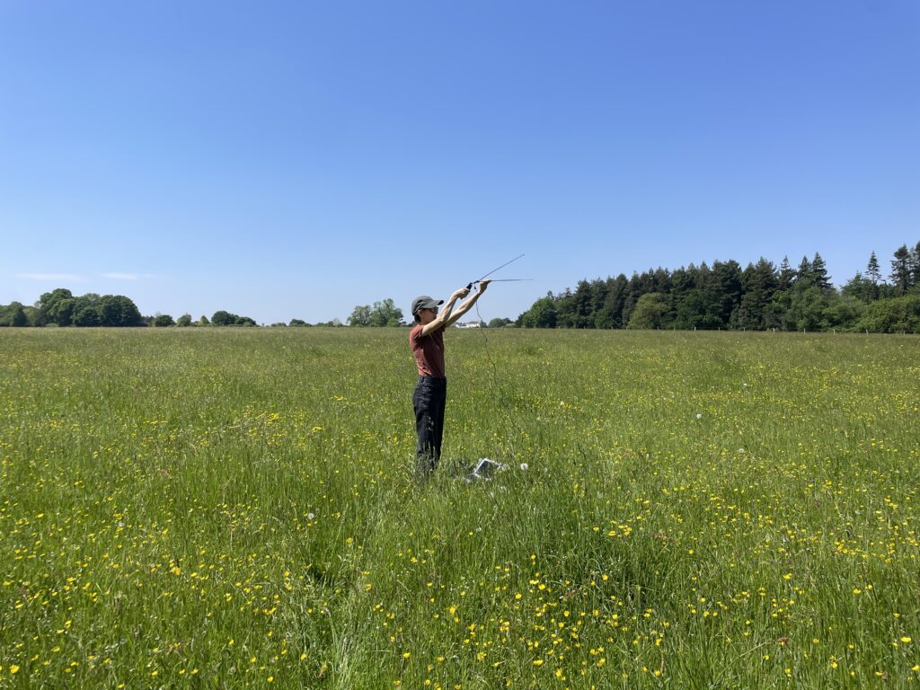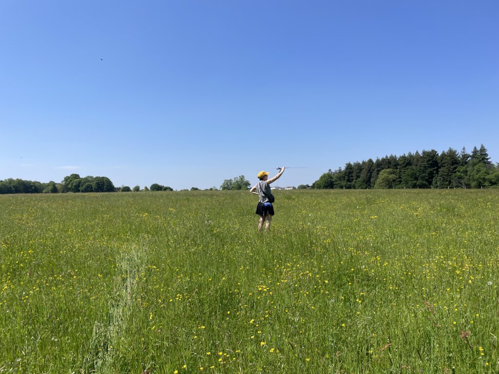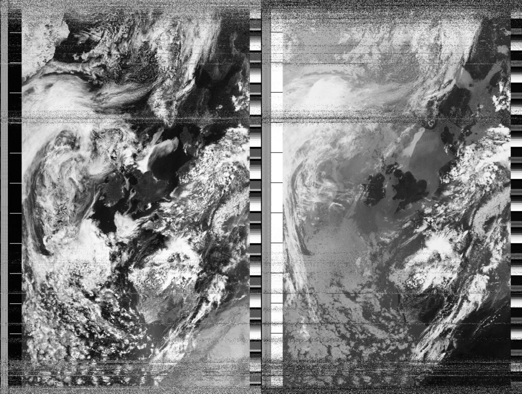
I awoke this morning with a slightly sore head after one too many Ardnamarchan whiskies in a pub on a hilltop in Bristol. Sun blazed through the ‘blackout’ curtains. Bristolians had been anticipating Sun for several days, as we learned when speaking to a friend who runs a small cafe on the Northwest side of the city. There were numerous jokes, practically by everyone who walked in the cafe, about how rarely the Sun appeared and how the summer would be ‘over in three days’. Today my partner and I got a ride to the edge of town and spent the day in Leigh Woods, pointing out sculptural roots and feeling our way through the landscape without much help from maps. I wondered how common the experience of ‘data free’ or ‘no connection’ zones might be in a Sar-linked or One-web future. We hopped a twisted wire fence into a field of high grass and wildflowers to capture a satellite image from NOAA-18. Later, passing by the wide silty banks of the River Avon we stopped to watch small rivulets carving lines into the hillside. Having walked for over four hours we finally arrived back in Clifton Village for a 3:30pm lunch and ordered piles of food. Before the food arrived a middle aged man fainted and nearly fell over while standing next to our table. My partner helped catch him, and while he recovered I remembered my own short-lived phase of fainting in public while standing on street corners in hot, humid Manhattan in the summer of 2011. This was the summer that Hurricane Irene hit New York City and much of Manhattan was evacuated, an eerie precursor to Hurricane Sandy.
Date
19 May 2024 12:36:44Location
Private field near Leigh Woods, BristolCountry or Territory
United KingdomName
Sasha EngelmannSatellite
NOAA-18Radio Callsign
Latitute / Longitude