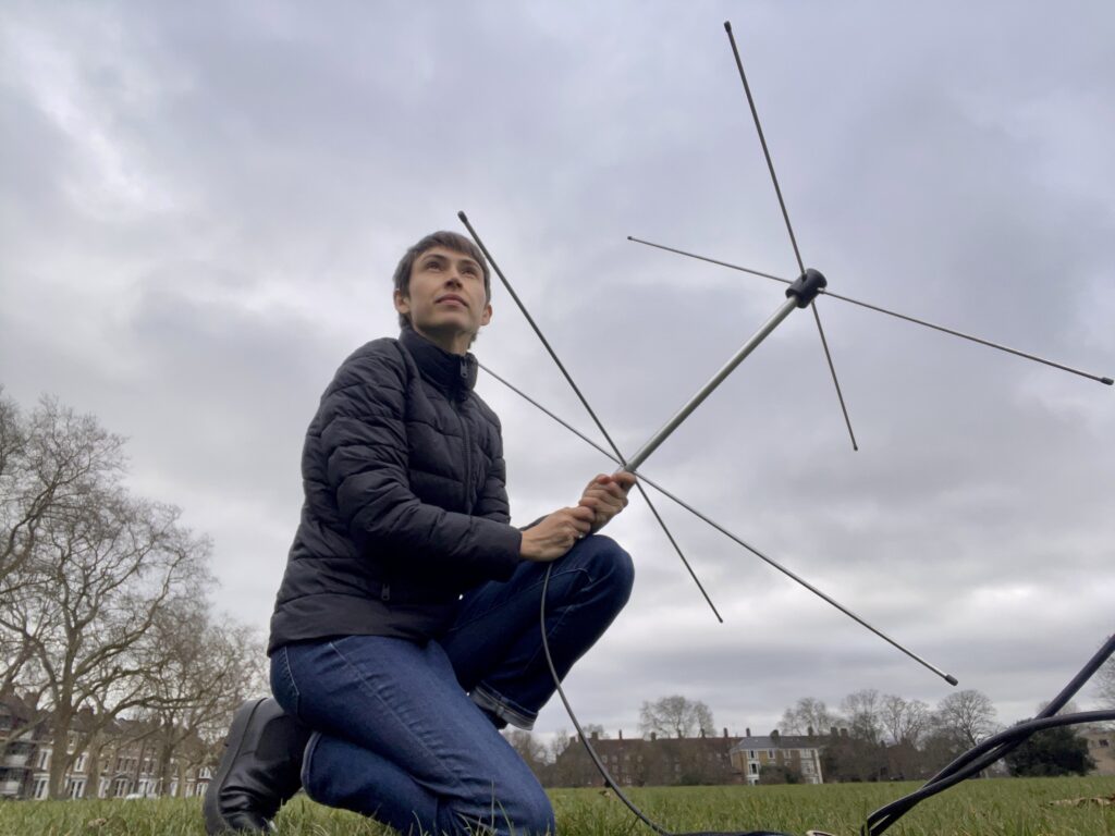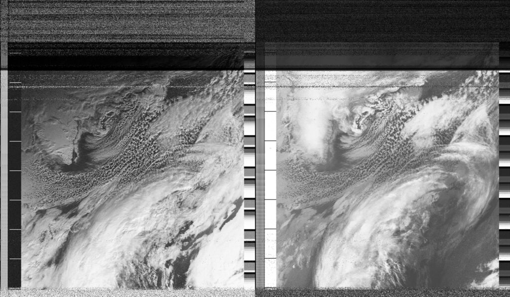
Today I attempted to receive a satellite image from a pass that I assumed would be 'out of the sensible range' of my ground station. The maximum elevation of the pass was 13 degrees to the West, and I hadn't previously tried to receive anything under 30 degrees. Expecting to get nothing, I found a spot in the middle of Hackney Downs and held my antenna as high as possible to catch whatever radio waves could bend around the curve of the Earth as the satellite barely crested the horizon. Surprisingly, the signal was already visible at 13:28 and I had a reasonably strong signal by 13:30. As I watched the image load line by line, I realised I was seeing cloud patterns over Greenland and the north Atlantic, so far to the west that no coastlines of Europe were visible. Meanwhile in Hackney Downs a group of dogs played around me and the gray clouds hung low. There was something incredibly strange about seeing the North Atlantic so many kilometres to the west, while Saturday morning life kept unfolding in London.
Date
3 February 2024 13:29:01Location
Hackney Downs, LondonCountry or Territory
United KingdomName
Sasha EngelmannSatellite
NOAA-18Radio Callsign
Latitute / Longitude