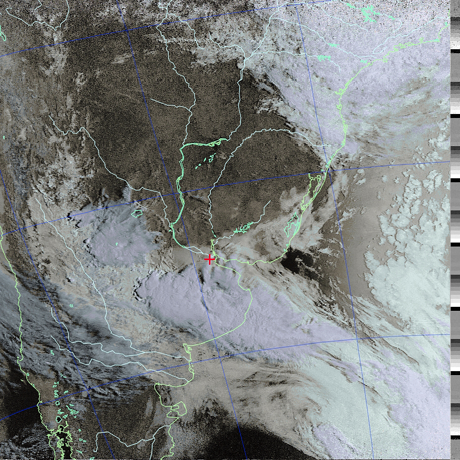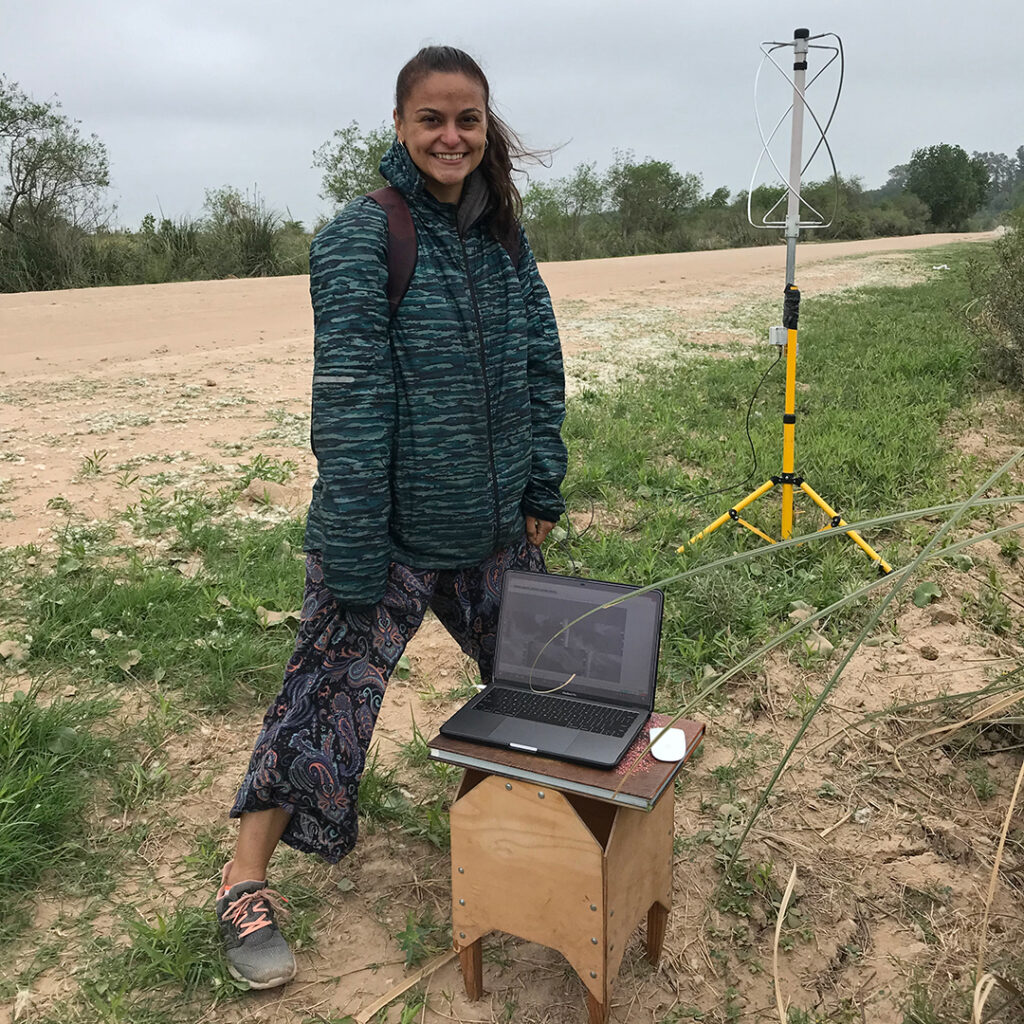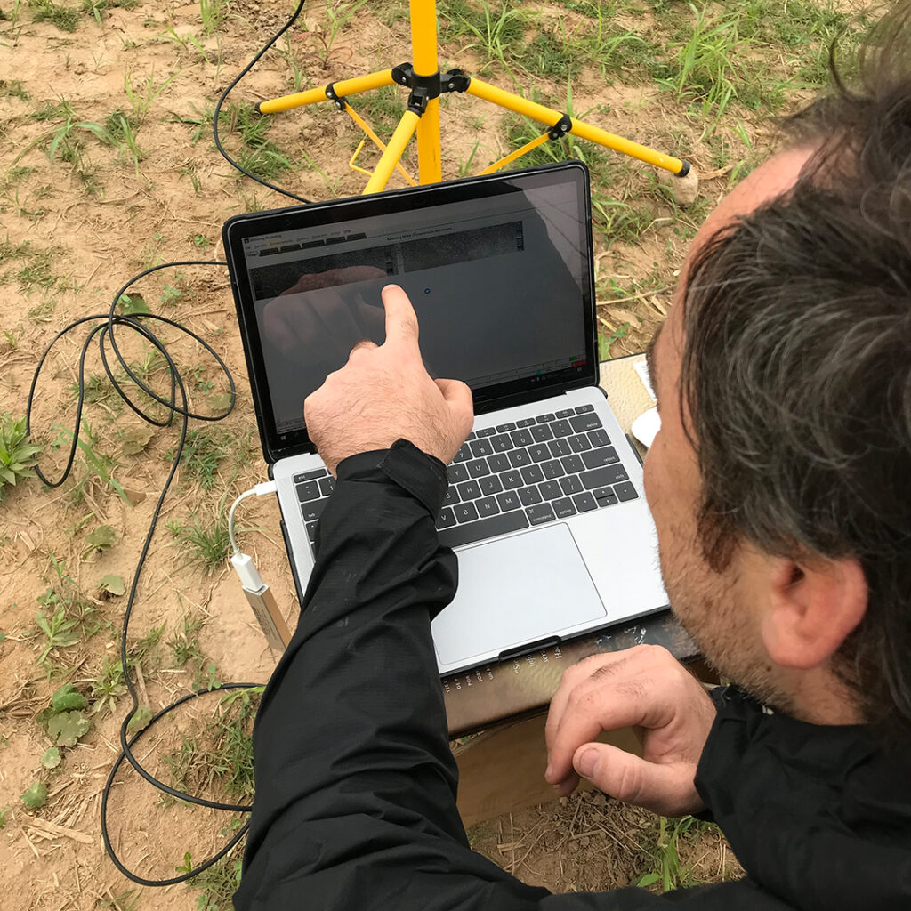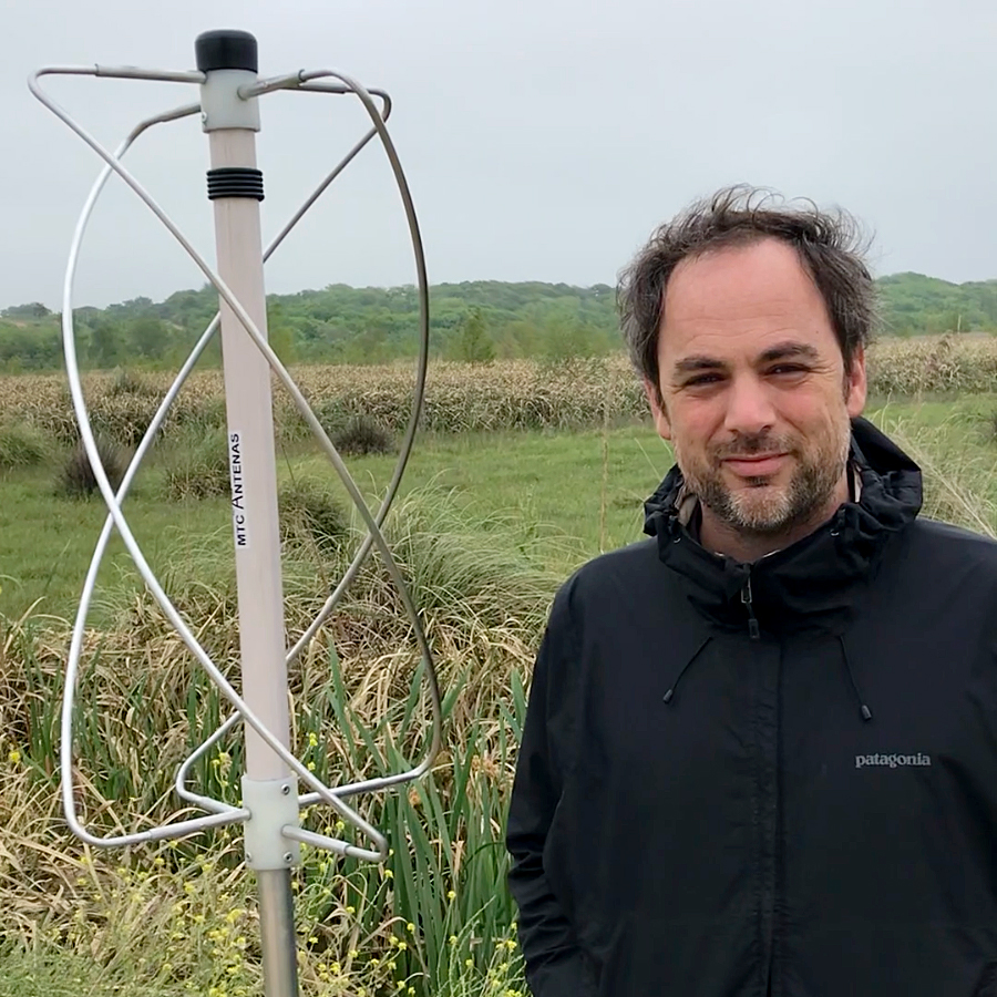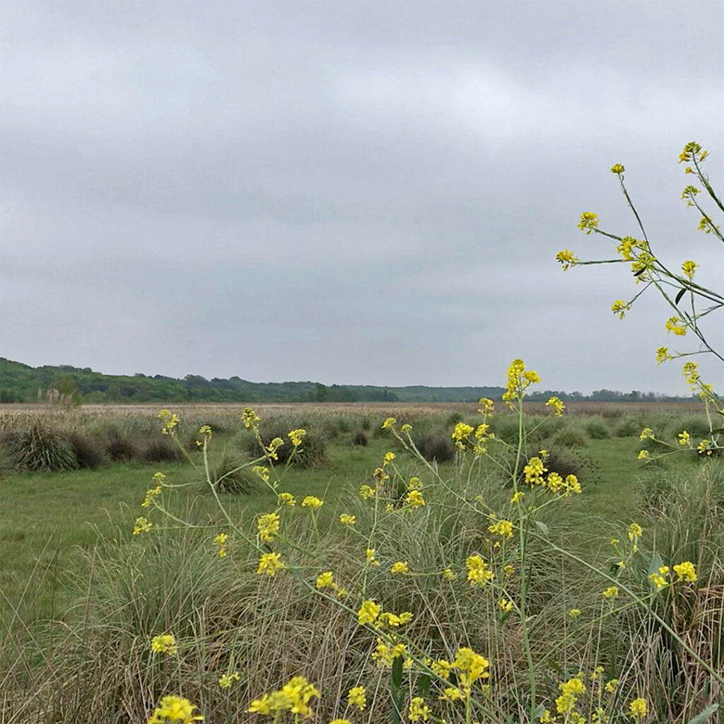
Today was a day of unexpected low temperatures, after many days of intense heat in the region of Buenos Aires and surrounding areas. After a week of record high temperatures -this has been the hottest October in record- the, but the arrival of a Sudestada, cooled the region. The Sudestada (Southeast blow) is a common meteorological phenomenon in the region of Río de la Plata and surrounding areas, of cold winds from the south to the southeast quadrant, which saturates polar air masses with moisture. Since the Río de la Plata is immensely wide and rather shallow, this wind has been historically associated with rising waters and floods. As we were recording the NOAA satellite passes, the wind was blowing at roughly 30kms per hour – and increasing- from the SE, and the temperature falling. The moving mass of air lifted the dust of a dirt road, and at times, the screen of my laptop moved when it received a sudden wind gust. The arrival of this breeze had us a little worried if it would be accompanied with precipitation, but thankfully no, we could do the whole satellite pass without getting wet. The wind did give us a sense of excitement and connection with what we were doing. In this respect, as the sky was overcast, we reflected on how the satellite download link was offering us a glimpse above the very same clouds we were seeing.
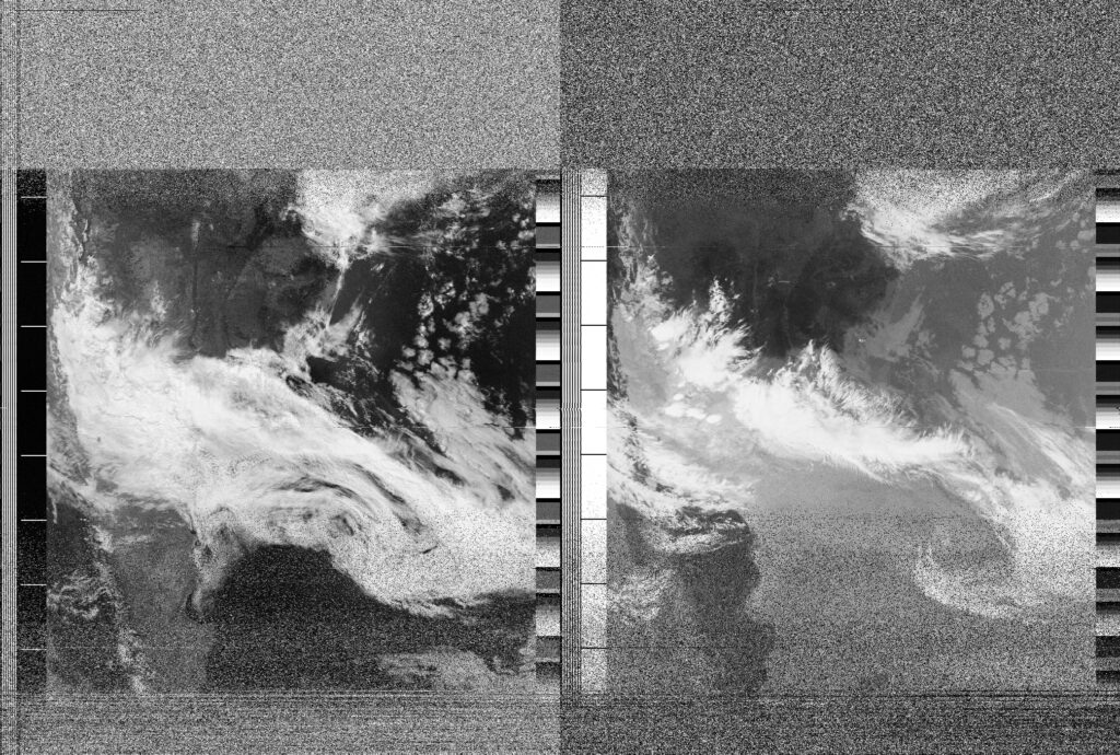
Date
31 October 2021 10:05:49Location
Parque Nacional Ciervo de los Pantanos, Campana, ArgentinaCountry or Territory
ArgentinaName
Joaquín Ezcurra, Aimée JuhazsSatellite
NOAA-18Radio Callsign
Latitute / Longitude